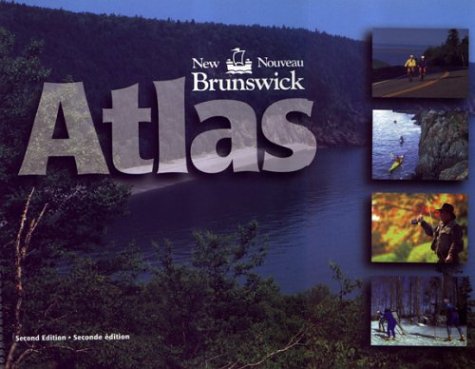
New Brunswick Atlas 2e
Description:
This bilingual atlas contains a detailed map of New Brunswick on 94 full-colour pages. It provides a wealth of information, including provincial highways, local and seasonal roads, ferry crossing, railroad and power lines, and airports. Prominent natural features such as lakes, rivers, and mountains are shown , as are national parks, wildlife areas camp and picnic grounds. Provincially owned lands are clearly marked as are forestry cuts and silviculture on provincial lands. This atlas contains over 5000 New Brunswick place names, all of which are indexed at the back of the book.
Updated edition Jan 2002


