Description:
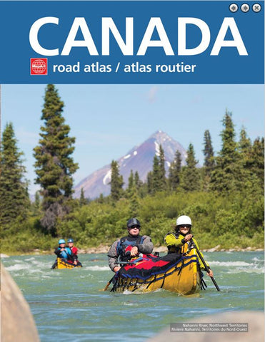
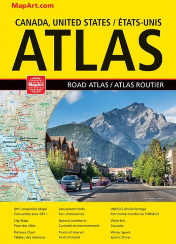
This best-selling 2023 edition road atlas has 1000s of updates for the most reliable on-the-road navigation and pre-trip planning. Inside this 128 page atlas you will find regional maps of the Canadian provinces/territories and US states, city maps of Montréal (1:200,000), Toronto (1:200,000), Vancouver (1:250,000), drive-through maps of Chicago, New York City, Los Angeles, Washington D.C., map legend, North American distance table and community name index.
Map features include populations, international/ state/provincial boundaries, time zones, express routes/interstate highways, Trans-Canada highway, highways, roads, winter roads and winter trails (Alaska), toll roads, railways, ferries, distance markers, border crossings, harbours/ports, waterfalls, bird sanctuaries, nature reserves, points of interest, museums, UNESCO World Heritage sites, archeological places, amusement parks, monasteries, churches, forts, lighthouses, battlefields, natural landmarks and more.

