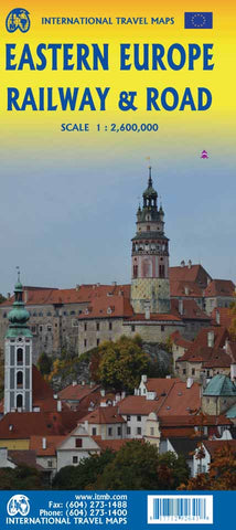
Eastern Europe Rail & Road ITM Travel Map 1e
Description:
Folded travel map that encompasses everything east of Germany and Switzerland, which means that this map covers Italy, Greece and the Balkan countries, the Central European countries of Romania and Hungary and most of Ukraine, Poland and the three Baltic states, and western Russia as far east as Volgograd, as well as much of Turkey. It is a combined road and rail map, showing motorways and major highways, fast-train routes in red and regular services in black. It also shows major cruise line routes. Scale 1:2,600,000
Updated edition Jan 2022

