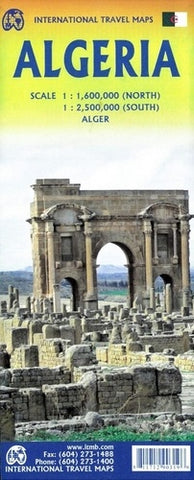
Algeria ITM Travel Map 2e
Description:
Folded road map with North Algeria on one side at a scale 1:1,600,000. The other side covers South Algeria at a scale 1:2,500,000, including an inset map of Alger, scale 1:10,000. Legend includes: International boundaries, motorways, highways, roads, railroads, ferry routes, pipelines, rivers, lakes, parks, airports, point of interest and more.
Updated edition Sep 2023

