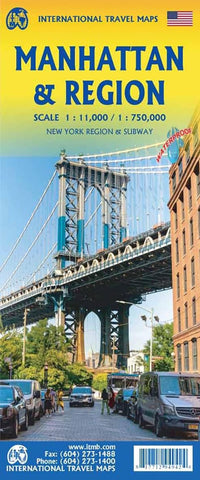
Manhattan & Region ITM Map 5e
Description:
Folded, double-sided map with Manhattan on one side at a scale 1:11,000. The other side is a map of the State of New York (1:750,000), which stretches from the Canadian border to Pennsylvania, and from the eastern extent of Long Island to Buffalo. Includes Connecticut, Massachusetts, Rhode Island, and good portions of Vermont and New Hampshire, as well as northern New Jersey.
Updated edition 2025
We think you may also like...
-
 $12.95
 -
 $35.50
 -
 $19.95