Description:
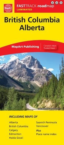
British Columbia / Alberta FastTrack map includes provincial mapping of British Columbia and Alberta at a scale of 1:2,000,000, a community name index, map legend, and regional maps of Vancouver at 1:275,000, Saanich Peninsula at 1:250,000, municipal maps of Edmonton and Calgary at 1:317,000.
The provincial map features include Trans-Canada Highway, Yellowhead Route, divided highways, paved and loose surface major, secondary and other roads, unimproved roads/forestry roads, distances between points (km), border crossings, airports, hospitals, visitor information centers, rest areas, Indian Reserves, National Defense, international, provincial boundaries, capitals, national parks/historic sites, recreation areas, wilderness/protected areas, forest reserves, icefields, campgrounds, ski areas, points of interest and more.
Updated edition 2024


