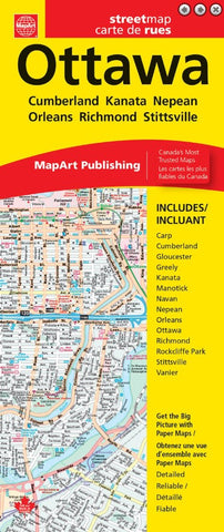
Ottawa MapArt Map
Description:
This folded map includes detailed city maps of Ottawa (Carp, Cumberland, Gloucester, Greely, Kanata, Manotick, Navan, Nepean, Orleans, Ottawa, Richmond, Rockcliffe Park, Stittsville, Vanier) at 1:35,000, downtown Ottawa at 1:20,000, a regional map of the Ottawa area at 1:900,000, a map legend and detailed street index.
Updated edition 2024
We think you may also like...
-
 $14.95
 -
 $19.95