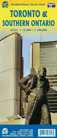
Toronto & Southern Ontario ITM Map 5e
Description:
Double-sided map of Toronto and southern Ontario at scale 1:12 000 -1:600 000. The Toronto plan covers the city center, from the Waterfront to St. Clair and from High Park East to Don Valley and shows the many tourist attractions, cultural and historical. The other side shows the southern part of Ontario, from Windsor, Detroit, in the Wild West to Ottawa in the East. The card also includes a broadband of USA from eastern Toledo to Syracuse.
Legend in English includes: Various routes, tourist attractions, parks, hospitals, lakes, churches, hotels, bus stations, etc.
Updated edition Nov 2023

