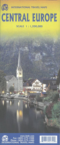
Central Europe ITM Travel Map 1e
Description:
Folded map covering the Central European countries of Germany, Austria, Poland, Czech Republic, Hungary, Slovakia, and Switzerland, with portions of France, Belarus, Serbia, and Romania. This is a regional map, showing rail lines as well and roads, airports, and major touristic attractions. A listing of the region’s top attractions is included. This map will appeal to those visiting several countries on one trip, by rail or road. Legend Includes: Roads by classification, Rivers and Lakes, National Park, Airports, Points of Interests, Highways, Main Roads, Zoos, Fishing, and more.
Updated edition Oct 2021

