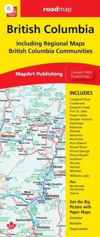
British Columbia MapArt Map
Description:
The folded map of British Columbia includes provincial mapping of British Columbia at 1:1,500,000, a territories map of Yukon, Northwest Territories and Nunavut at 1:5,000,000, regional map of the Fraser Valley at 1:375,000, municipal maps of Campbell River (1:75,000), Cranbrook (1:75,000), Dawson Creek (1:50,000), Fort St. John (1:60,000), Fraser Valley, Greater Victoria (1:250,000), Kamloops (1:75,000), Kelowna (1:75,000), Kitimat (1:50,000), Nanaimo (1:75,000), Penticton (1:75,000), Port Alberni (1:75,000), Powell River (1:75,000), Prince George (1:60,000), Prince Rupert (1:55,000), Smithers (1:60,000), Terrace (1:60,000), Vernon (1:75,000), Whistler (1:75,000), Williams Lake (1:75,000) and ferry listings.
Updated edition 2024

